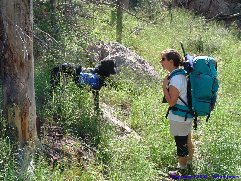
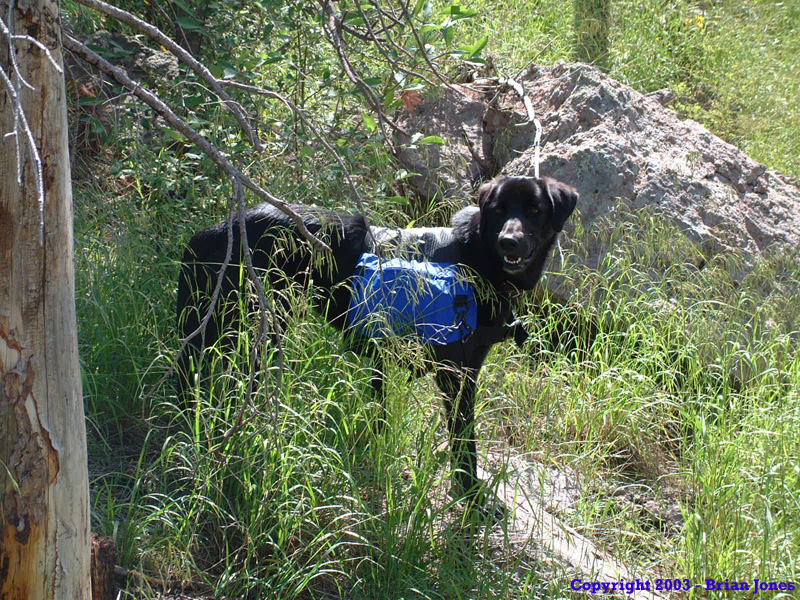
 On the morning of Saturday, August 30, Shannon and I drove over to Brad and Lori's, where we also met with Janet and her dog Pepper.
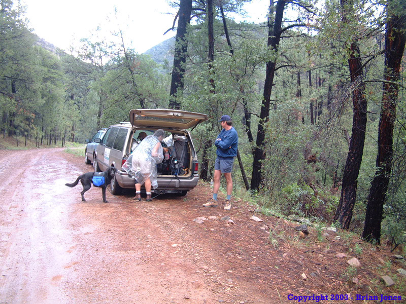
 We piled into Lori's van and headed east towards the Chiricahua Mountains. By late morning, we arrived at the Mormon Ridge Trailhead in a light rain. So we donned our rain gear, covered our packs, and slowly got ready for the long climb ahead of us. Our destination: Anita Park. Our starting elevation was around 6150 feet. The elevation at our campsite was 9576 feet. So we had roughly 3500 vertical feet to climb over the course of about 5 trail miles.
 We started out in high spirits, despite the low clouds and rain. I got my first jolt of fear less than 100 meters into the hike.
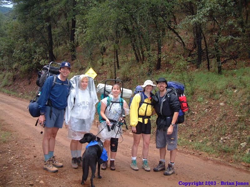
 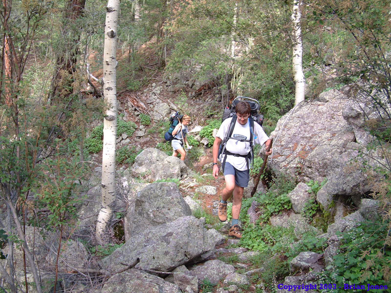 Janet was on her first backpacking trip since a major knee surgery, so there was some apprehension about how it would hold up. Well, while climbing over a log ahead of me, I heard Janet yell out in pain and saw her grasp her knee. My first thought was Oh no!! She's already blown her knee out again!! Thankfully, it wasn't so serious. Climbing over the log she banged her bad knee (of course) on a knot on the log. So it hurt a great deal, but wasn't a hike ending injury.
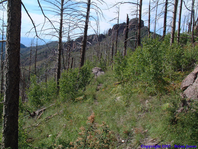
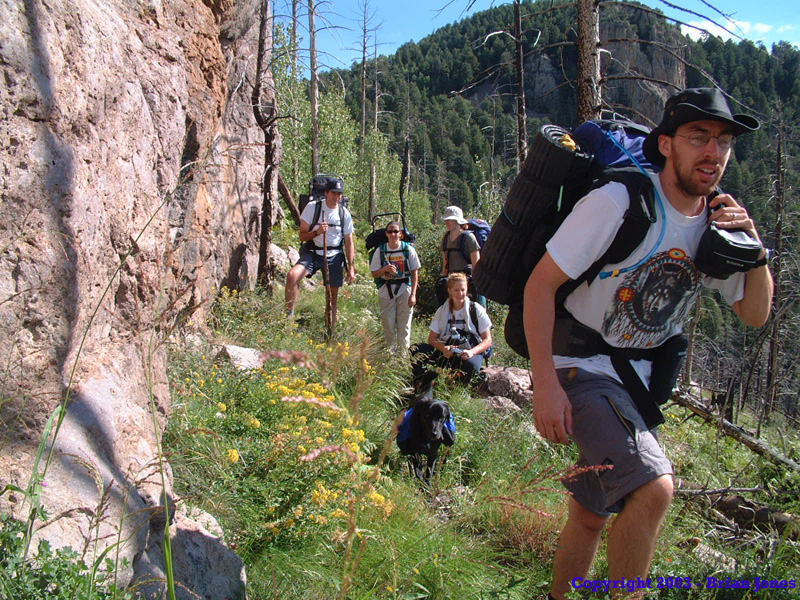
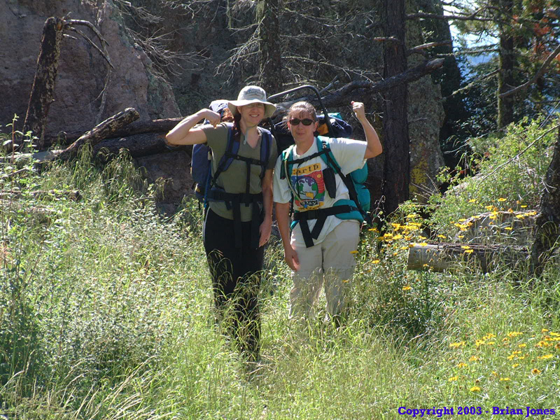
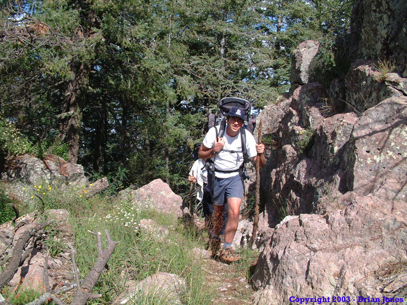
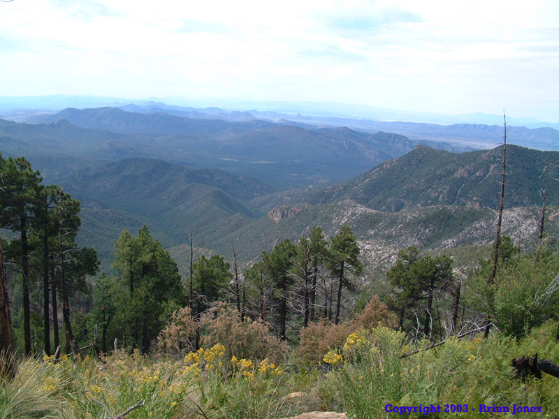
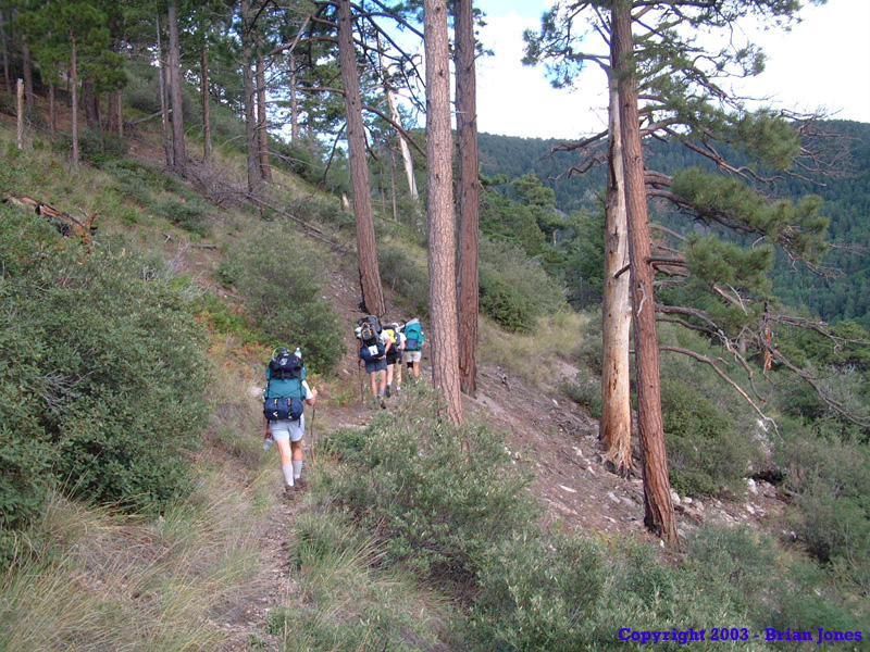
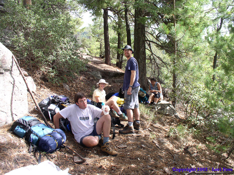
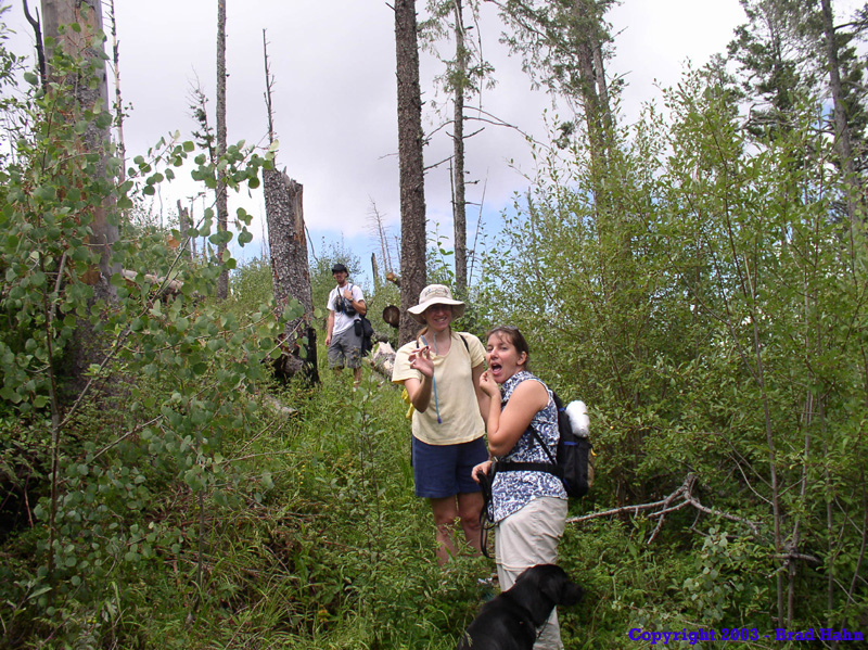
Not long into the hike, the rain stopped, and the clouds lifted a bit, which was nice because the views from the Mormon Ridge Trail are wonderful. We hiked. We climbed. We shed clothes. We hiked and climbed some more. 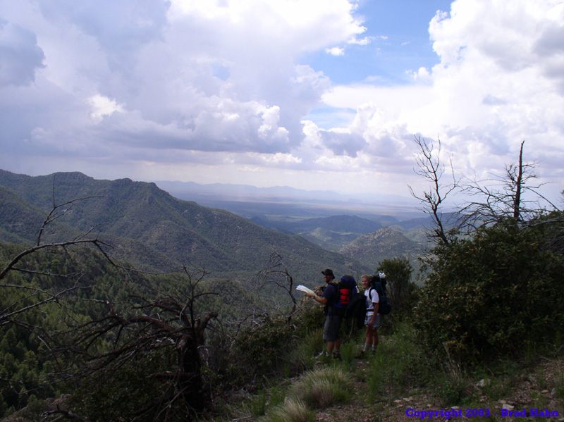 Seeing as how it was the first backpacking experience for a couple of folks in the group, it was slow going, but we kept plugging away. I played the role of sweeper, making sure no one got left behind, but in that role Shannon and Janet moved ahead out of sight. Apparently they didn't stop for lunch because we didn't catch up to them by the time the rest of us stopped for lunch. Eventually we did meet up with them . . . Walking towards us.
Obviously my first thought was that they were merely walking back to find out what had happened to us. Nope. They didn't realize they were walking back DOWN the mountain. They had somehow gotten on the wrong trail, which looped them around and deposited them back on Mormon Ridge Trail heading the wrong way. We never did figure out just where they went wrong, but at least I was able to get the whole group moving along the right trail . . . in the right direction. Since I knew my wife was going to move out ahead of me again, I admonished her to be more careful about getting too far ahead and potentially getting lost. This wouldn't be a good place to be lost, especially with bad weather still looming.
It didn't work too well. She and Janet moved on ahead of the rest of us again, chatting away, and soon were out of sight. When I got to the first major trail junction at the top of Mormon Ridge Trail, Shannon and Janet weren't there. I hoped dearly that they had taken the correct trail from the junction, a hard left heading north. But I doubted it. I yelled out for them, hoping they were still within ear shot. They called back, from about 100 meters up the trail. The wrong trail. Fortunately, they had stopped to take a break at that point. If they had been a bit further on, I would have had to make the decision as to whether to go in the correct direction hoping they had done the same, or go searching for them (possibly in vain) down the wrong trail. With the group back together again, I made sure the group stayed closer together for the remainder of the hike.
This is as good a place as any to say that for anyone who hikes in the Chiricahuas is that my (albeit limited) experience with the area is that there are unmarked side trails and marked, but apparently no longer existing trails to confuse matters. It would be pretty easy for the unprepared traveler to get lost or confused. Bring a map. Know how to use it. If not everyone in the group has a map AND knows how to use it, keep the group together. Trying to find a lost friend in this vast wilderness would not be the makings of what I would call a fun day.
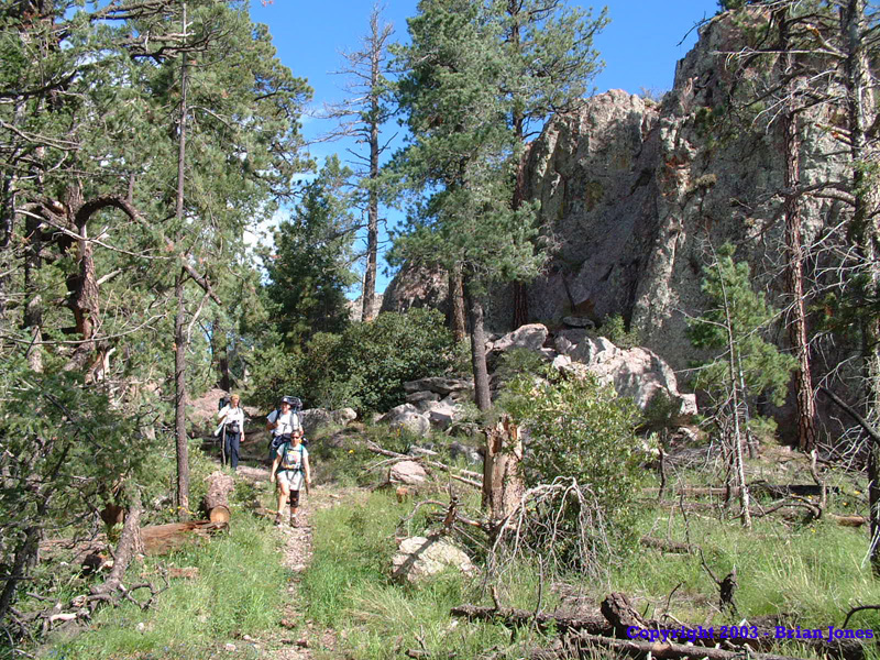
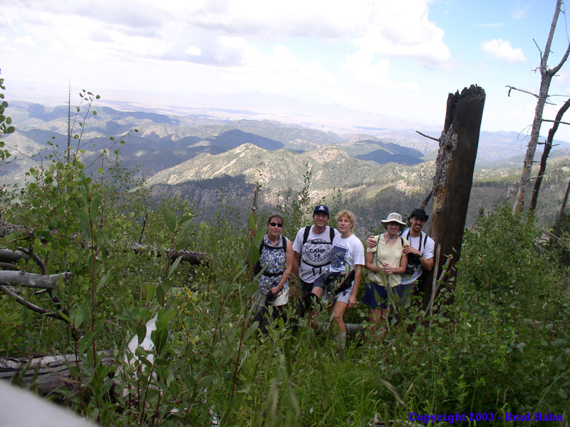
 By the time we reached the Crest Trail junction, we were at nearly 9200 feet, so most of our climbing was done. A very welcome (if delayed) relief for some of the group.
 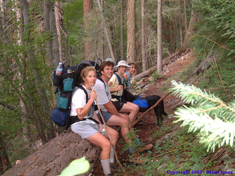 It was on the Park Trail that I think people started enjoying the hike more again, as we moved through a lush forestland of ferns, wild raspberries and wildflowers.
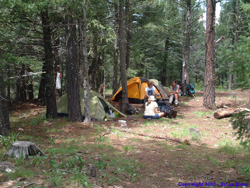
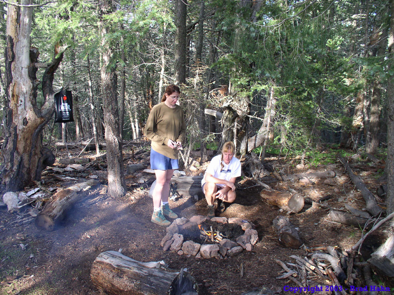
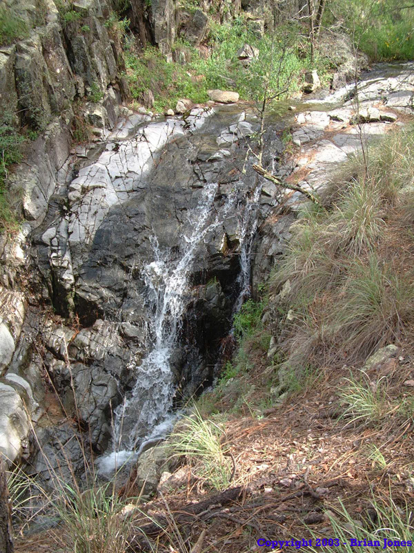
 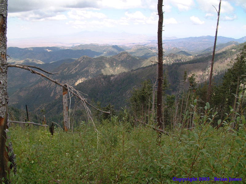 Before long we were at Junction Saddle, which has a very nice log to rest on (not the log in the picture shown at right by the way). After a short break we moved north to the short spur trail up to Anita Park. When we got to Anita Park in the short period before sunset, what we found there was a rather large number of people! I was quite surprised to see so many people up there. One guy I talked to said he'd been visiting Anita Park for years and had never seen so many people there. It wasn't like people were swarming all over the place, but there were probably about 15 people or so, in a rather small meadow.
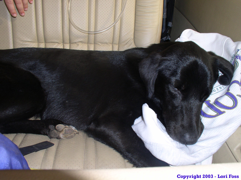
One of the people there had a very protective, noisy dog, and it didn't sound like a good place to camp for the night (at least not for peace and quiet), so I lit out in search of someplace else nearby. They Anita Park veteran suggested a site up the hill a bit from Anita Park. It wasn't perfect, but I was sold. It was certainly better than the other option. When I went back down to have everyone move to the new spot, I almost had a revolt on my hands. "NO FURTHER!!" was the cry. I felt bad, but was determined personally not to set up camp next to a bunch of people and a noisy dog. Though given the option to stay, in the end, everyone followed me up to the campsite up the hill. Two other guys and a dog also found there way up to a site very near to ours, also repelled by the crowd below.
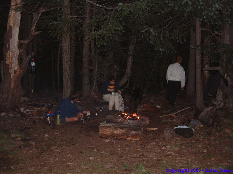
I wish I could say that we were then able to relax a bit and take it easy. I wish I could say that. Thunder rolled, clouds dropped, scattered rain drops fell, Pepper disappeared (apparently frightened by the thunder). All of us scrambled to set our tents up and get our gear inside and keep it try. It was quite a mess, but we all got our tents set up and gear inside JUST before it started to rain in earnest. As soon as Janet got her tent set up, she went out in search of Pepper. Shannon and I had some work to do inside the tent to get organized. Shan was not a happy camper. My brand new Mountain Hardware Approach tent proved to be rather cramped for two people and gear. Cramped being somewhat of an understatement. What worried me most though, was that I didn't get my ground tarp situated under the tent very well, and rain was coming off the tent, landing on the ground tarp, and rolled right under the floor of the tent, where some of it sat in a pool. I was horrified at the prospect of all of that water wicking up through the floor, getting us cold and wet. (Side note: The Mountain Hardware Approach tent may be small, but it is AWESOME!! Despite sitting in a puddle all night long, not one drop off water came up through the floor, or anywhere else for that matter.) There was nothing I could do about it at that point though, so once I got our gear arranged and Shan situated so she wasn't so distraught, I donned my rain gear and went to help Janet find Pepper. The two of us wandered around in the waning light, calling out for Pepper. He eventually turned up at Janet's heel, apparently trying to make it look as though he'd just been following her around all along. Sneaky dog!
With Pepper found, we retired to our tents, where we spent the rest of the night, since the rain never let up, much to Shannon's chagrin. Several times during the evening and night, she had to go to the bathroom, but didn't want to go out in the rain. I felt bad because it wasn't a very bright introduction to backpacking for her. I should add here that in the end, she's a pretty good trooper, and that she hasn't disavowed backpacking completely. She still went on the Havasupai backpacking trip that this trip was in preparation for, and is going to be doing a five day trip to Paria Canyon with me in June.
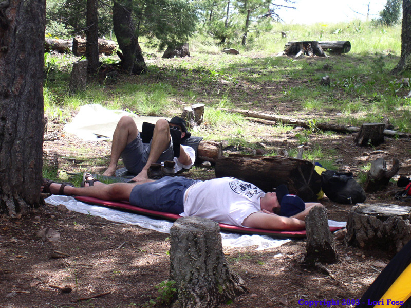
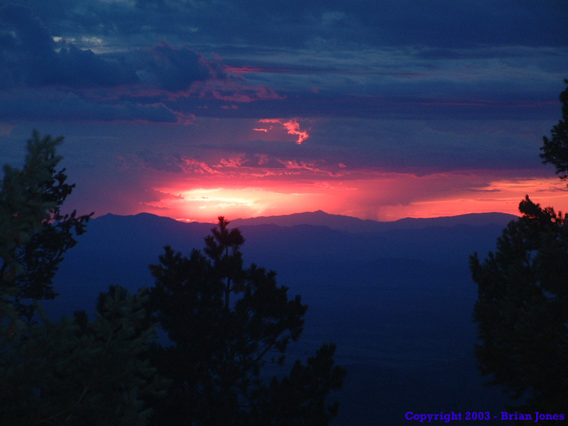
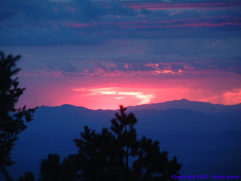
At any rate, we spent the whole night in the tent, and several times I had to either help keep Shannon warm or calm her down a bit because she truly wasn't thrilled at the situation. But the night did pass and morning finally broke, with sun! It was brisk, but it was a gorgeous day. Everyone slowly got out of tents, prepared breakfast, exchanged "stuck in the tent all night" stories and gave thanks that the rain had stopped.

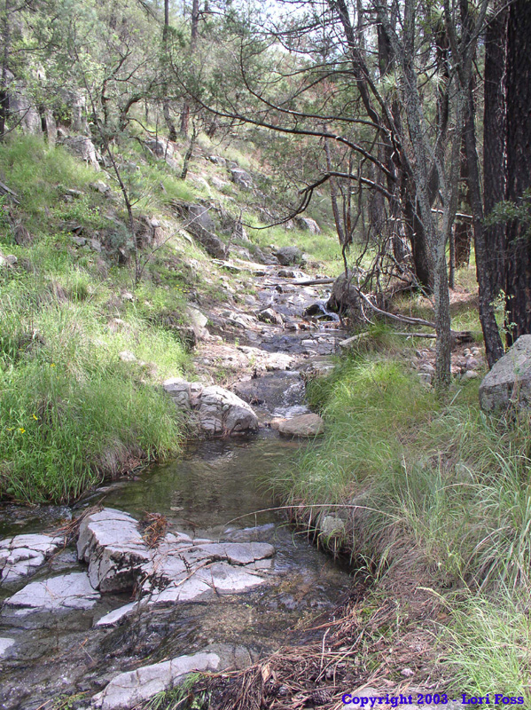
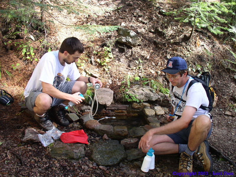 We had a pretty light day planned out on Sunday. Our first goal was to replenish our water supply. So we set out in search of Anita Spring. It took us a while to get everyone's bottles filled up, but we did manage. My understanding was that Anita spring was running low when we were there, but it was running well enough for us to get water. By the time we were done, we had noticeably reduced the water level in the rock basin someone had made to make a tiny pool of water, but I'm sure it filled back up fairly quickly.
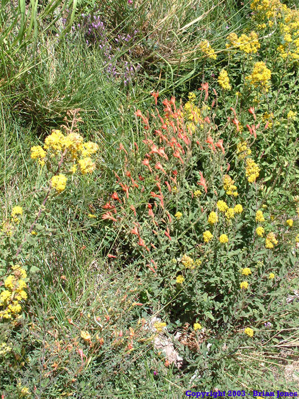
 With a full supply of water, our next goal was a short hike up to the highest peak in the Chiricahua Mountains, the aptly named Chiricahua Peak, at 9759 feet. It was an easy walk, taken with many stops to test the abundant wild raspberries that lined the trail. It was a little early in the season, and most were pretty tart. I had a few, but it was hard to keep Shannon and Janet moving on the trail because they were eating so many!
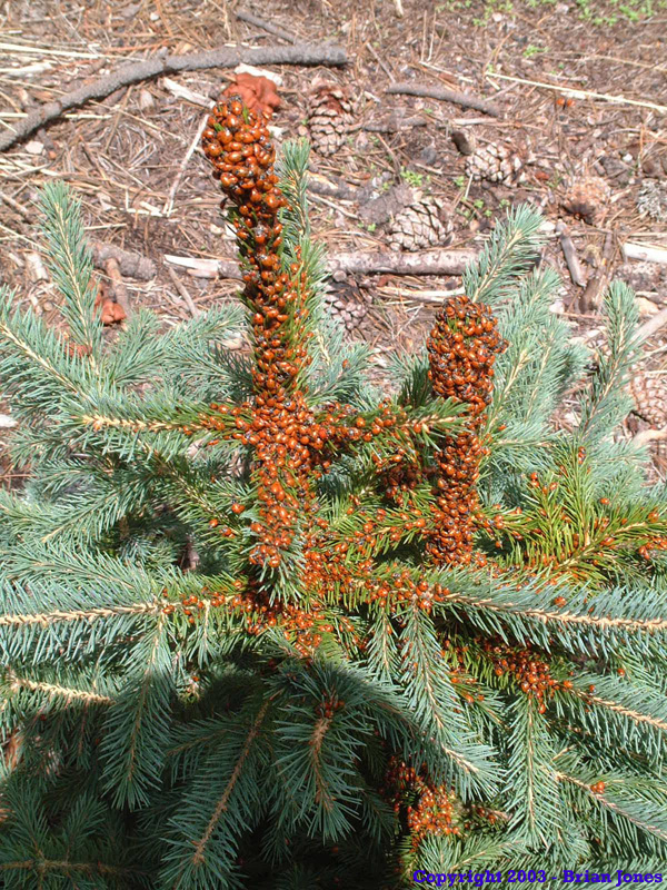 When we got to the top, we found a little pine tree that was almost completely covered in lady bugs. It was pretty interesting. The views from the top of are pretty good, but not phenomenal, due to trees blocking the view in most directions.
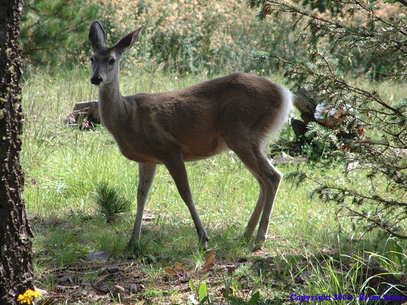
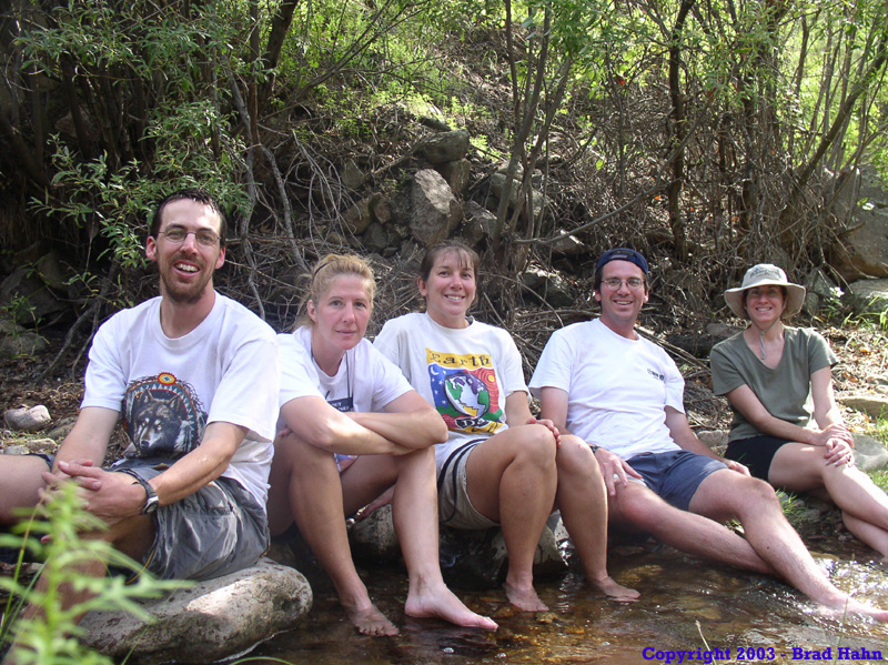
After the day hike, we headed back to camp and relaxed. It was a nice, lazy day, and the weather couldn't have been better. As we lay in camp, reading, writing, or napping, a lone deer moved right past our camp, at times within 30 feet of us.
When we got to the top, we found a little pine tree that was almost completely covered in lady bugs. It was pretty interesting. The views from the top of are pretty good, but not phenomenal, due to trees blocking the view in most directions.
After the day hike, we headed back to camp and relaxed. It was a nice, lazy day, and the weather couldn't have been better. As we lay in camp, reading, writing, or napping, a lone deer moved right past our camp, at times within 30 feet of us.