

Added 5 May 2007
Wednesday, 14 March 2007, San Evaristo to La Poza Grande, Baja California Sur, Mexico
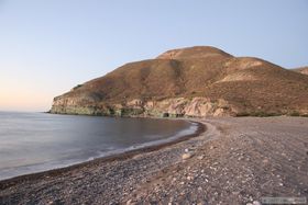
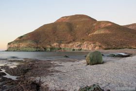
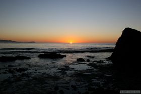
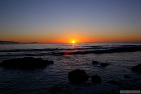
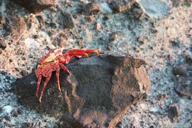
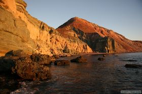
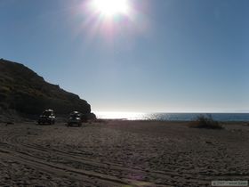
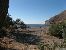
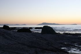 As became the norm for the trip, my morning routine consisted of rising before the sun to take photos, going back to camp for breakfast, then packing up or preparing for the days activities. Our little beach certainly didn't disappoint in the photogenic category.
|
|
|
|
|
|
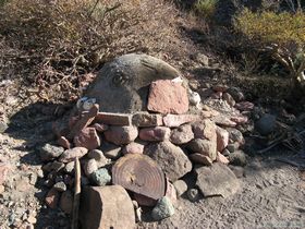
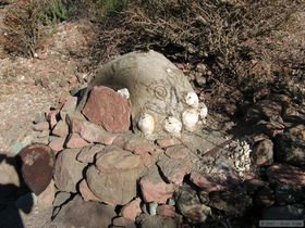
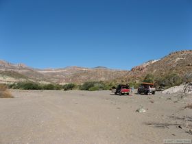 After breakfast, Marisa did a little more beach combing while Chuck and I loaded the trucks. I was ready first, so had a little time to roam around and take some more pictures. We got ready to roll for our long travel day fairly quickly though.
|
|
|
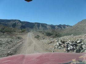
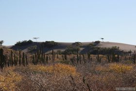 Our travels for the day took us from the Sea of Cortez, over the Cerros Blancos Mountains, and all the way to Estero San Jorge amidst the mangrove swamps south of La Poza Grande on the Pacific coast.
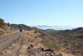
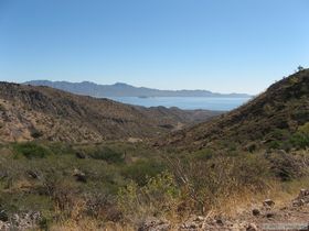
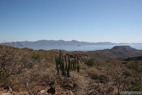
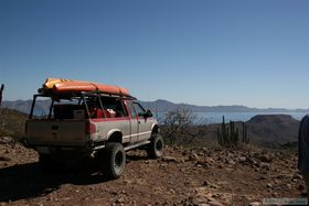
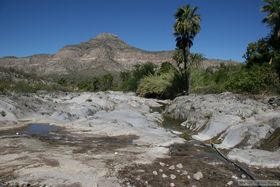
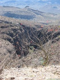
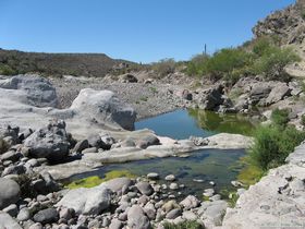
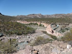
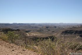
 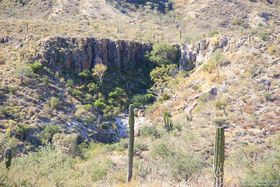 The road climbed steeply to a saddle in the mountains, with a more gradual descent down the other side past numerous ranches and other outposts of civilization. The eastern side of the mountain range afforded wonderful views of the Sea of Cortez, which were unfortunately behind us. We stopped a few times to enjoy the view however. At one stop, we noticed an oasis in a small canyon that looked enticing. I would have loved to have hiked to it if we'd had more time.
|
|
|
|
|
|
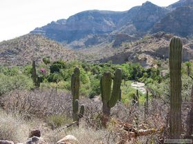
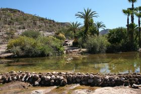
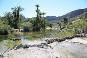
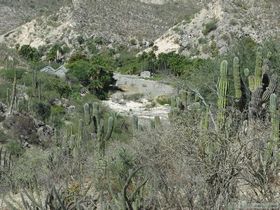
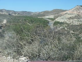
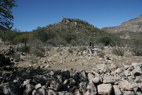
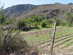 Once over the top, the vegetation changed somewhat, and soon we encountered riparian areas with dense vegetation. As is often the case in the desert, water draws people. Along the canyon floors were scattered settlements, many using the water to supply beautiful flowering trees and palm trees as well as to irrigate their small fields of crops. I'm not sure if the palms were native or introduced. Though we certainly didn't see anything that would be classified as a major river, I think we were all a little surprised by how much water was to be found in the Cerros Blancos.
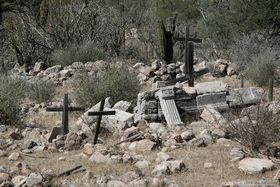
The little towns that we went through were also really neat, though most were little more than a handful of ramshackle homes and a small chapel. The chapels were often the best maintained structures in town, and were usually quite nice despite their demure stature. In each town, we received equal amounts of polite waves and astounded stares as we drove by with our bright orange kayaks on our rooftops. Few gringos travel the route we took, so I imagine they were a little surprised out our presence.
|
|
|
|
|
|
|
|
|
|
|
It would have been interesting to have stopped in some of the towns to wander around, but we had a lot of miles to cover, and since our Spanish isn't that great, it would have been difficult for us to communicate effectively. 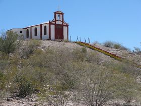 Still, the drive was amazing. I think the drive would be even more beautiful when traveled from west to east, as you would have better views up the canyons of the west side, then have phenomenal views of the Sea of Cortez going down the east side.
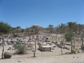 We stopped near the base of the Cerros Blancos for lunch. Fortunately, Marisa was riding with Chuck and re-directed him from the first place he wanted to stop for lunch, the landfill for a nearby town. We made fun of him for quite a while for that one. Every time we passed a landfill or dumping ground in Mexico after that, I would pipe up on the 2-meter radio and say, "Look, it's another Bistro Chuck franchise!" Of course, his second choice wasn't much better. He found a little two-track road, and stopped for lunch near a dead cow. Fortunately it had been dead long enough to not be smelly. Chuck sure knows how to pick the prime lunch spots!
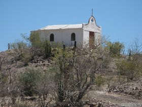
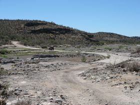
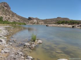
After lunch, we headed off on an alternate route to our destination so we could go to San Luis Gonzaga to see the mission there. Along the way we passed a couple more small villages, and in each all eyes were upon us. The children in the village were especially keen as we drove by. Only one small group of young boys yelled something that didn't sound entirely welcoming as I passed.
|
|
|
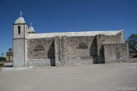
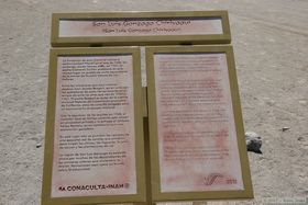
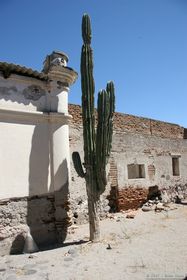
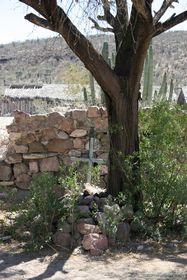
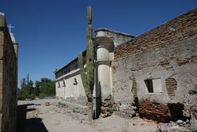
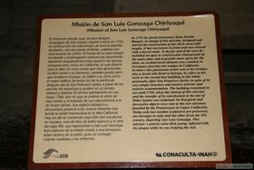
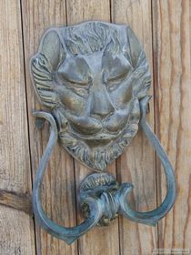
At San Luis Gonzaga, we found the mission doors to be closed, but not locked. 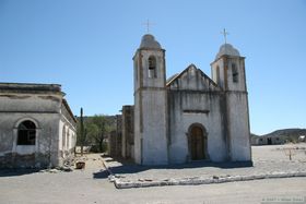
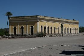
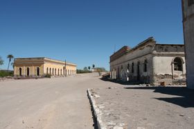
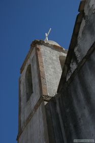
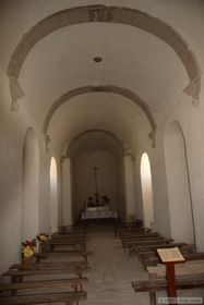
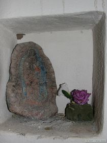
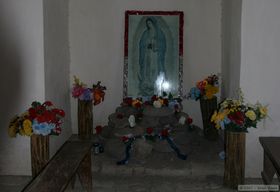
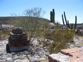
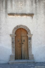 Still, we didn't want to walk in without permission, so we contented ourselves with simply walking around the outside of the mission and nearby structures. When done with that, Marisa and I found ourselves at the front door again, wishing we could get inside. A young girl walked by and I hesitated, but as she walked away, I went ahead and called out to her in Spanish and asked her if the mission was open for us to go into. She didn't really say much in response, but she turned around and opened the door for us. Tacit approval, I suppose. We called over to Chuck, who quickly joined us. The interior of the mission was very simple, due in part to the fact that the decorations were moved to other nearby missions when this one ended it's brief life, but that took nothing away from its grandeur. We were in a clearly sacred place.
|
|
|
|
|
|
|
|
|
|
|
|
|
|
After soaking the mission in, we closed and latched the door, then continued our journey westward. We eventually made it to Highway 1, aired our tires up for the highway, and headed north. 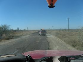 At Ciudad Insurgentes (Insurgent City) we rebelled against Highway 1 and continued north on a minor highway. Here we got to play the fun game of playing dodge the potholes in heavily loaded trucks. Though perhaps the word pothole is somewhat of a misnomer, as in many cases there was more hole than pot. You could have filled many of the potholes quite nicely with an overturned VW bug. In some places, people have taken to driving on the side of the road to simply avoid the worst areas.
The worst areas would occur at intervals along the road, such that one might see us drive normally for a quarter mile or so, then start jinking left and right for 100 meters or more, then continuing on a more or less straight path for a while longer. We did this while trying to keep up as much speed as possible, so we were driving fairly wildly. It probably would have been comical to an outside observer, a category that Marisa didn't fit into. She was riding with Chuck at this point, and thought he was going to flip his truck over with all his wild weavings. He says she yelled at him, but Chuck has a tendency for over-dramatizing things.
At some point during the day, Chuck found a dead snake in the road. Being a wildlife biologist, of course he wanted pictures of it. Being a lazy wildlife biologists at the time, he didn't want to dig his camera out to take pictures of it at that moment, so he threw it into the back of his truck. The snake became a great source of amusement for Marisa and I, because he would keep "finding it" in the back of his truck or in a gear box, and it made him jump back in fear every time. He was really scared of that poor dead snake.
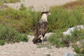 We drove through La Poza Grande by mid-afternoon, and wandered the roads south of town in search of a place to camp for a couple of nights. Before the trip Chuck had located two potential campsites using aerial photographs, and we sought them out. The first was a place that others had used for camping, but the bank down to the mangrove swamp was steep and muddy, so we decided to try the second spot. We investigated a few other potential sites along the way, but none panned out. In the second spot Chuck had found, we found another vehicle already there.
There we met Ron and Terry, a couple from California in a 4X4 conversion van that was quite the expedition vehicle. We estimated later that their rig had cost more than our two trucks combined. We chatted with them for a while, and they gave us advice on a third place to camp, saying that the water access would be better for kayaking there, but if we couldn't find another place to camp, we would be welcome to join them at their camp.
They had an inflatable kayak, and said that they had to drag their kayak 1/4 mile through the muck to reach the water at low tide. They directed us to a place that they said would have enough water even at low tide to kayak in without having to slog through much mud. The coordinates they gave us were on a mystery datum and were of no use, but their verbal description was good enough to get us to the camp. It wasn't ideal, but it was quite nice, right next to the water, across from what appeared to be a mangrove island. And it did indeed appear that the channel around the island would have enough water in it at low tide so we would have a lot of freedom for kayaking.
The campsite was a short distance away from two fish camps, which I think would have concerned Chuck (and to a lesser extent, me) more, if not for the glowing report Ron and Terry gave us about the locals there. 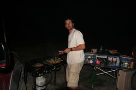 Once we made the decision to stay, we quickly set about setting up camp. As we did so, I was a little surprised (and mildly disappointed) by the apparent lack of wildlife in the mangroves. I think that my trip to the Brazil, and the Pantanal in particular, spoiled me. When I commented on this to Chuck, he agreed and said he kept looking for caiman in the water, a hopeless endeavor.
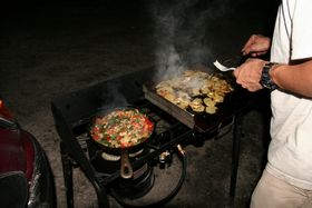 As soon as I got some of my gear organized, I got to work making dinner for Chuck and Marisa. I made spinach, pepper, tomato and seitan burritos with pepper jack cheese in red chile tortillas and fried papas. The potatoes didn't turn out as well as usual, but the burritos were a hit.
 |
 |